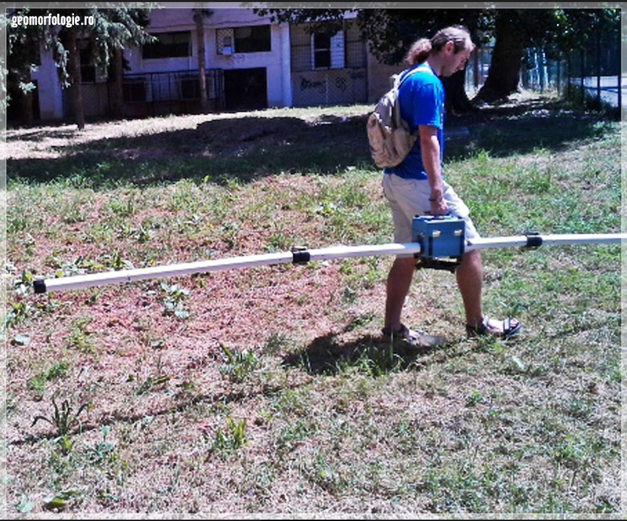
The EM31-MK2 maps geologic variations, groundwater contaminants, or any subsurface feature associated with changes in ground conductivity. Using a patented electromagnetic inductive technique that allows measurements without electrodes or ground contact. With this inductive method, surveys can be carried out under most geologic conditions including those of high surface resistivity such as sand, gravel, and asphalt.
Ground conductivity (quad-phase) and magnetic susceptibility (in-phase) measurements are read directly from an integrated DL600 data logger (which can be easily removed from the console for data transfer). Real Time (RT) graphical presentation of the data during collection is possible by connecting a computer directly to the RS232 output port on the front panel with an optional RS232 interconnect cable.
The effective depth of exploration is about six meters, making it ideal for geotechnical and environmental site characterization. Important advantages of the EM31-MK2 over conventional resistivity methods are the speed with which surveys can be performed, the precision with which small changes in conductivity can be measured and the continuous readout and data collection while traversing the survey area. Additionally, the in-phase component is particularly useful for the detection of buried metallic structure and waste material.